TBN2CAD - Commands
These commands are available in pack TBN2CAD:
-
 EXPGE2 - Export from AutoCAD to Google Earth
-
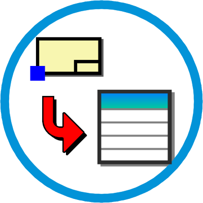
 READKML2 - Import KML into AutoCAD
-
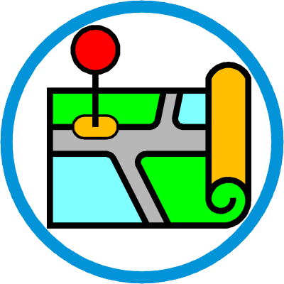
 IMPORTGMMAP - Import image from Google Maps
-
 IMPORTGMMAP2 - Import images from Google Maps and make a mosaic
-
 IMPORTGMPTS - Import points from Google Maps
-
 STREETVIEW - Create a pallet with Google Street View window
-
 COPYLAYER - Copy layers from another drawing
-
 DTAL2 - Draw convention slope (slope pattern)
-
 DELPTALIN2 - Delete duplicate points
-
 TRAJETO - Designing path of vehicles
-
 RET - Drawing rectangles by 3 points
-
 SOMACOMPAREA - Sum perimeter and area of polylines
-
 BLKPROPS - Scans a folder of DWG and creates a text file with the attribute values of the block to be searched
-
 CHANGEBLK - Replaces and sets the values of attributes of several drawings
-
 GEOTAGIMAGE - Edit GEOTAG of photos and inserto into AutoCAD
-
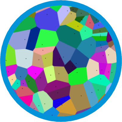 VORONOI - Draws the VORONOI diagram
-
 MLH2 - Draws grid coordinates
-
TBN2CADMENU - Loads the menu, toolbars and ribbon tabs of TBN2CAD
-
TBN2CADHELP - Shows this help