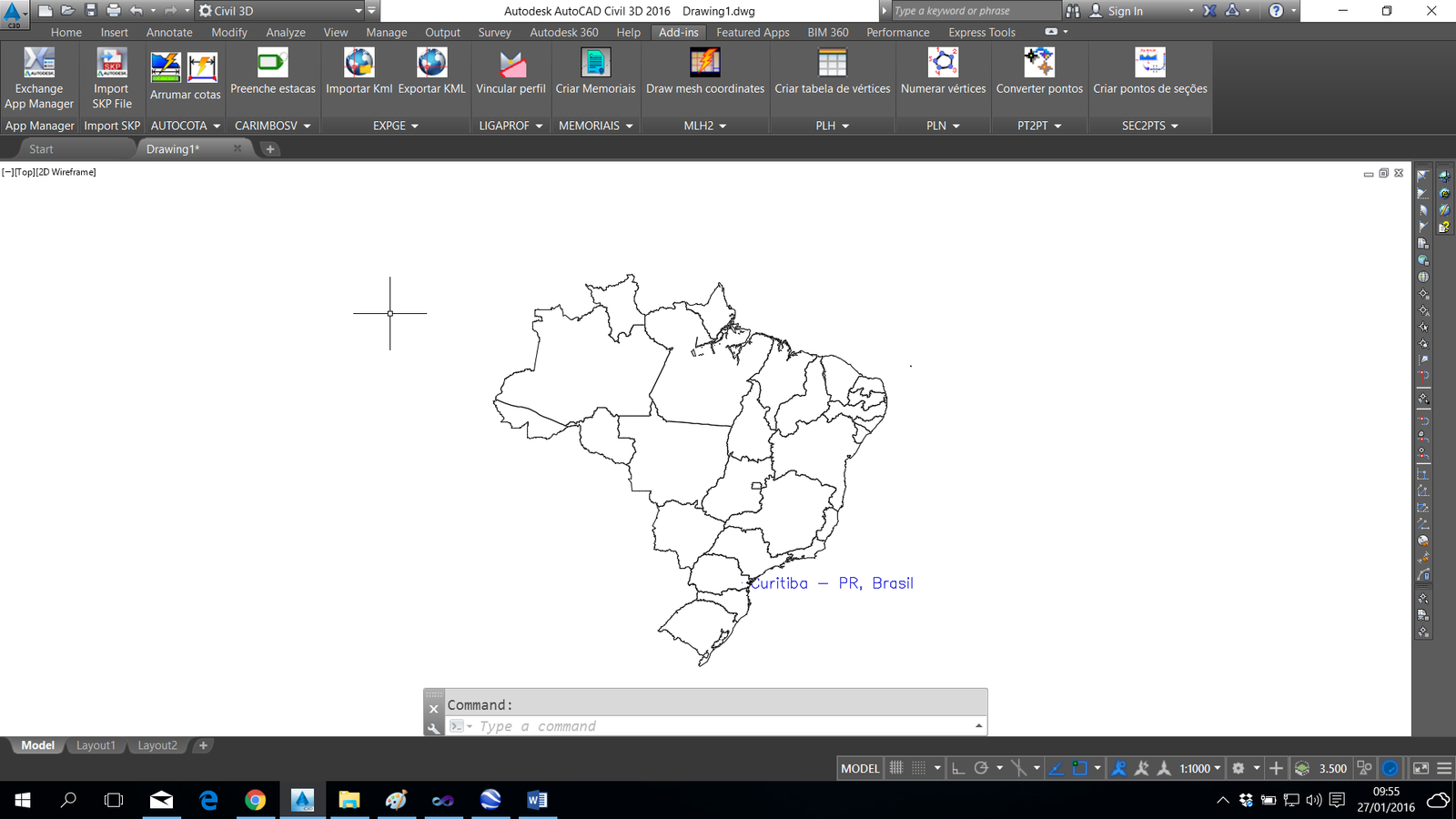
READKML READKML
READKML reads KML files from Google Earth and draws it in AutoCAD. Use it in conjunction with the  EXPGE
EXPGE
To use the command:

(; DO NOT ALTER THIS LINE !!!!

; Name HalfTimeMax Overturn dx dy dz
; ------------------------------------------------- ---------------------
("WGS84" 6378137.0 298.257223563 0.00 0.00 0.00)
; Resolution of the Presidency of the IBGE n ° 23 of 21/02/89
("SAD69 (1987-1994)" 6378160.0 298.25 -66.87 4.37 -38.52)
 ; Http://www.ibge.gov.br/home/geociencias/geodesia/default.shtm
("SAD69 (APOS 1994)" 6378160.0 298.25 -67.35 3.88 -38.22)
; Http://www.ibge.gov.br/home/geociencias/geodesia/default.shtm
("ED50" 6378388.0 297.00 84.87 96.49 116.95)
;
("Astro Chuá PY" 6378388.0 297.00 -134.0 229.00 -29.00)
; Http://www.u-blox.com/customersupport/docs/GPS.G1-X-00006.pdf

); DO NOT ALTER THIS LINE !!!!