 STREETVIEW
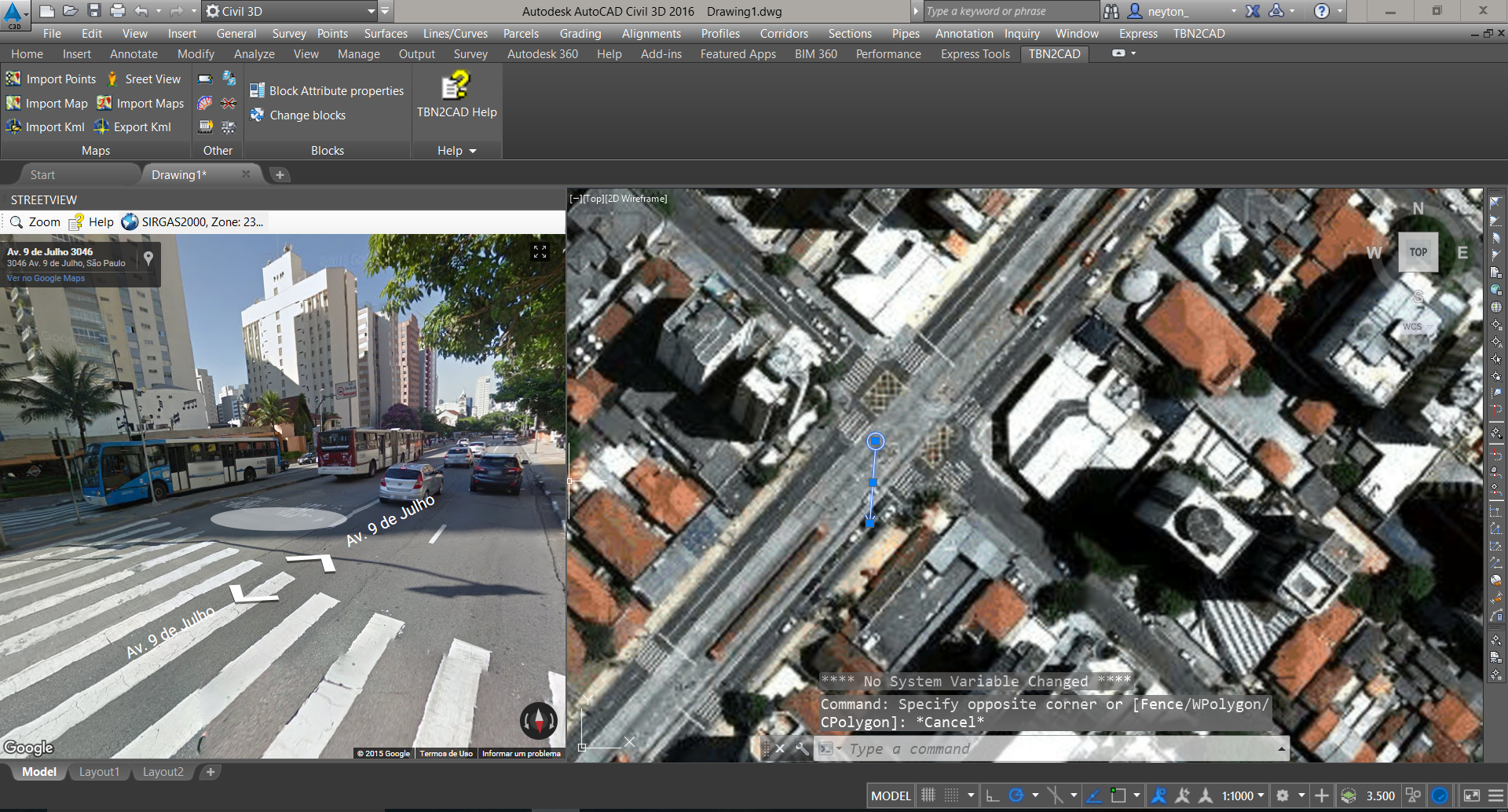
The command  STREETVIEW command opens a Tool Pallet with a window to the Google StreetView,
enabling iteration of a line that you enter in the drawing, which marks the position and direction of the observer.
To use the command:
-
Call the command line (command
 STREETVIEW ), on the toolbar, or ribbon
-
You Can be prompted to click two points, indicating the position where the observer is and another to show the direction he looks
-
Set the Reference (datum, ellipsoid and coordinate transformation) by clicking the icon

-
After the Tool Pallet open if no picture at all, move the line that was drawn on the drawing screen
The result will look like this:

You can:
-
Move the arrow in AutoCAD and the image is á repositioned
-
Move or rotate the image on streetview and the arrow is á repositioned
Comments:
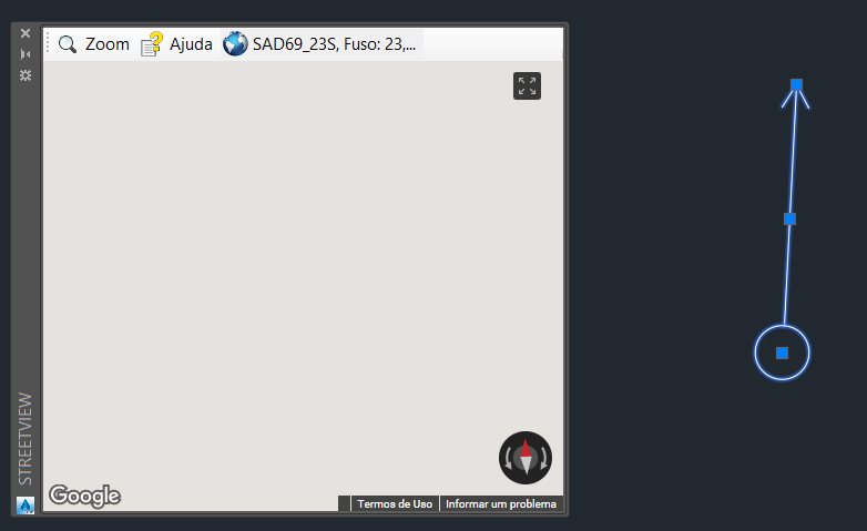
If no picture appears on the ToolPallet StreetView, means that the coordinates are not valid.

To make sure the image to appear it is necessary to correct the arrow position.
Follow these steps:
-
In toolpallet, click
 Reference button
in image above, chose the SAD69_23S (button with planet icon) and applied parameter settings for processing of the known UTM coordinates.
If you do not know how to do this, open Google Earth, set to show UTM coordinates:

Navigate to your point of interest and see the approximate coordinates:

Now, on the screen of  Reference check the Transformation
and set the coordinates:

-
Now, move the line of streetview, and see the image:

In the example, I inserted an image from Google Maps, using the command IMPORTGMMAP with the same coordinates transformation options.
![]() STREETVIEW command opens a Tool Pallet with a window to the Google StreetView,
enabling iteration of a line that you enter in the drawing, which marks the position and direction of the observer.
STREETVIEW command opens a Tool Pallet with a window to the Google StreetView,
enabling iteration of a line that you enter in the drawing, which marks the position and direction of the observer.


